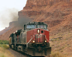
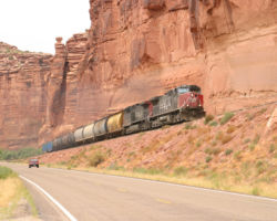
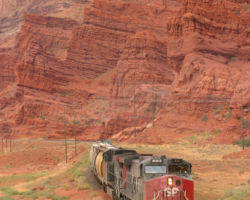
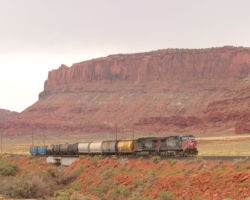
The Potash Local – Friday, Aug 5, 2005
Potash is the name for a whole class of moderately refined mixes of potassium salts. It primarily consisting of some mix of potassium oxide and potassium chloride depending on application (K20 tends to be agricultural, KCl industrial), but also of other potassium salts and impurities. Primarily, it’s used as a fertilizer. As it turns out, just such minerals exist deep underground near Moab, UT, along the banks of the Colorado River and between two national parks. However, in the early 1960s, Texas Gulf Sulfur, Inc., started construction on an underground potash mine about fifteen miles down the Colorado River from Moab, UT, about halfway between Arches and Canyonlands National Parks. In order to haul out the products of this endeavor, the Denver & Rio Grande Western brought in Morrison-Knutsen to build a branch from their mainline at Brendel, UT (otherwise known as Crescent Junction), some 38 miles south to the mine.
To understand why anybody would want to build a mine in such a remote place and in such close proximity to national parks, we need to go back about 300 million years ago, to the middle of the Pennsylvanian Period. (I’m not a geologist, and don’t know squat about rocks, but we’ll see if we can get this right…) During this period, most of Utah to the north was covered by a sea. The area where Moab sits now was a large, low-lying depression in the Earth’s surface, known as the Paradox Basin. However, between this primitive ocean and the present-day Moab region was an uplifted ridge, which essentially isolated the Paradox Basin like a giant, inland lagoon. Periodically, over millions of years, water would flood over and submerge the Basin, and when it evaporated, leave behind deposits of salts, gypsum, and shales. Over time, this layer of salt deposits would be buried under thousands of feet of overlying rock, mainly sandstone deposits from the Permian and Jurassic Periods. This deposit would, aptly enough, be called the Paradox Formation. Salt deposits, under adequate pressure, are plastic and will flow. This movement, and the resulting displacement and faulting of the overlying rock, is responsible for much of the scenery in the region today. This flow is also why the Paradox Formation is thousands of feet thick in places, making for promising extraction prospects.
Since its construction some four decades ago, the mine has undergone numerous changes. The $25 million dollar facility started producing rail traffic in 1965, although the line was completed around 1963. Originally projected to produce 12,000 tons of potash every day (well over a full unit train for the time), the justification for the rail line was obvious. However, to my knowledge, this full capacity was never achieved, or if it was, it was not achieved over a long period. In 1970, due to various factors, the mine was converted from using actual miners excavating the minerals deep in the earth to a system of solution mining. Basically, now they use wells to inject water deep into the Paradox Formation, which dissolves the salts into the water, forming a brine. The briny fluid is then extracted through other wells and pumped it into giant ponds. Since Moab has extremely low humidity and some 300 days of sun every year, these ponds act has giant solar collectors, evaporating off the water and leaving a bed of salt crystals behind. These are then scooped up with large vehicles and hauled off to the plant, where the materials are further refined and separated into the various products. Texas Gulf Sulfur eventually sold out, and today the mine is owned by Intrepid Mining, LLC, and operated as Moab Salt. Today, with the higher price commanded by potash, the mining activity is once again expected to increase.
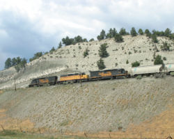
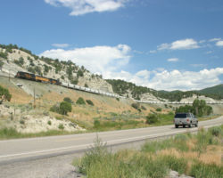
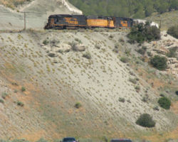
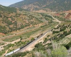
The branch itself is 35.77 miles of undulating railway. It comes off the UP’s Green River Subdivision at Brendel, UT, and follows US 191 south towards Moab. A few miles north of town, the line veers west through the 7050-foot Bootlegger Tunnel, where it continues about five more miles down the Colorado River canyon to Potash. The line has three significant summits – one at about mile 12, and the other two on both sides of Seven Mile. I think the ruling grade is about 1.2%. The only real siding and station on the line (other than at the ends), is Seven Mile, which has both a siding and a spur over to a loading ramp, such as would be used by trucks to dump rock into railcars. The route has three other, less official stations – Arch, at MP 10, Lee, at MP 18, and Emkay around MP 28. The line actually looks pretty boring until you get down past about MP 20 – that’s where the scenery really starts to dwarf the train. The entire route has a timetable speed of 30mph, but there are various slow spots, especially in the deep cuts where rocks on the track are an ever-present danger.
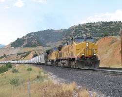
Railfanning the line is easy. Currently, the Potash Local, known officially as Union Pacific’s LJC53, runs once a week on Friday out of Grand Junction. Power is typically two six axle units, and can range from junker SD40-2s to the latest UP AC power. Departure times out of Grand Junction range from 0730h to 1100h, but have been on the later end of that range lately. If you see something in the GJ yard with two six-axle motors and some cylindrical hoppers and tank cars, there’s a good bet that that’s the Potash Local. Once they depart, they typically take 90 minutes to get to Brendel with no delays, but the run down the branch and back takes about five hours and another 90 minutes back to Grand Junction. Throw in a few minutes switching out tankers of fuel at the Brendel yard, and you have a fully day for the local.
Access to the branch is easy. US 191 follows the line down from Brendel/Crescent Junction to near Moab. Just south of where the line breaks off to head into the tunnel, you’ll need to take Utah 279, which follows the Colorado River out and around. It’s a great paved road out to the mine, and passes through some spectacular scenery. Near the parking lot for the Corona Arch trail, the railway emerges from a cut high above the road. If you hike up the trail, you can get right up to the tracks and the end of the huge vertical cut. From there down to the mine, the railway follows the road very closely, and because it’s a park-type area, there are numerous pulloffs.
Remember how I said Moab has 300+ days of sun every year? Well, Friday, 5-Aug-2005 was one of the other 65.25 days. As soon as I stepped outside at 0800h, it was already warm. Worse yet, there were thin clouds overhead and it wasn’t sprinkling. This was not exactly the sort of weather I’d looked forward to in order to chase the Potash job across the desert. Any fears I had of it departing early that day were quenched when I found two AC4400CWs in the yard – SP 173 and 113 – with a small string of cylindrical potash hoppers for the mine and a couple tank cars of fuel for Brendel. This, unmistakably, was the Potash local, and it wasn’t even crewed up yet.
In order to kill some time, I wandered around Grand Junction. I filled the tank, I washed the car, I ate stuff… Eventually, going on nearly 1000h, I was wondering if we were ever going to get the heck out of Dodge, so I wandered back west looking for good shots between Grand Junction and where the line drops into the Colorado River canyon at Mack. Once in Mack, I just started looking around for traces of the old Uintah Railway. (The Uintah is on my perpetual list of ghost railroads to visit, but I never seem to get it done…) I didn’t find much, but I did find a pair of young redtail hawks that made pretty good photographic fodder. Right as I’d reached the deepest pits of boredom, something useful finally crackled over the scanner, “SP 173 west, highball Fruita.”
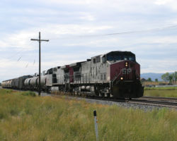
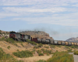
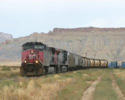
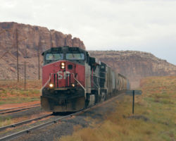
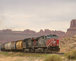
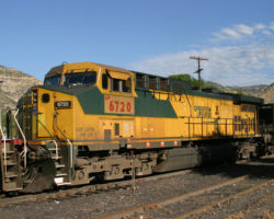
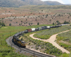
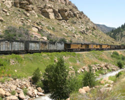
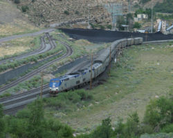
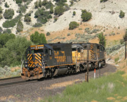
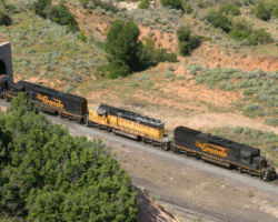
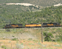
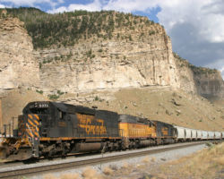
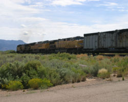
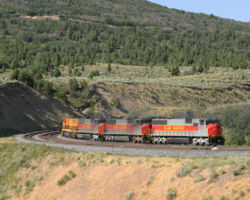
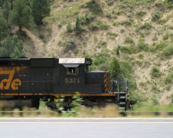
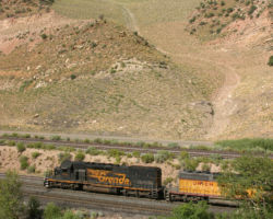
I figured the grade crossing at the east end of Mack was as good of a place as any. It was now nearly 1100h, and the hot sun was already high in the eastern desert sky. Within minutes, SP 173 showed, and slowly took the siding. (Photo #1) Shortly after the crossing, it came to a stop, then proceeded down the siding at low speed, eventually disappearing from sight around the corner.
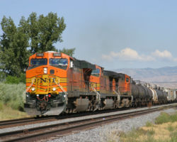
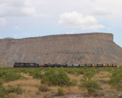
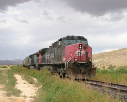
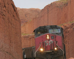
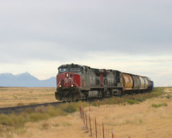
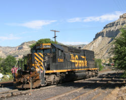
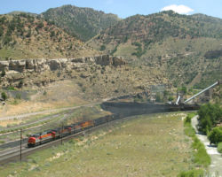
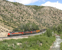
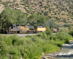
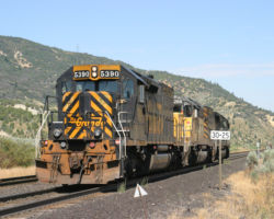
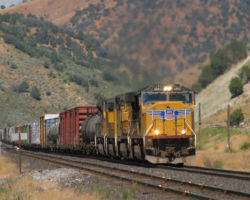
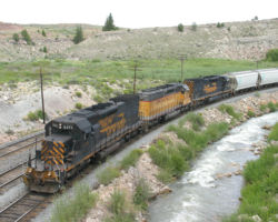
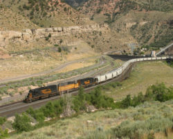
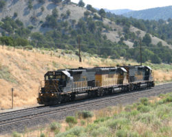
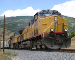
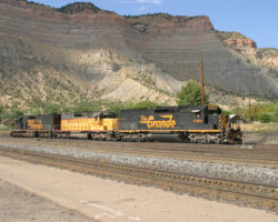
As part of the things I’d done while bored, I’d slapped the big magnetic mount antenna on the back of the convertible. Normally I don’t do this, because it whistles annoyingly and it just looks bad, but today it would be quite handy. While trying to figure out why 173 was in the hole, the DS’s strategy came over the radio. 173 would be meeting a BNSF here, then heading to Ruby to pick up a car, and finally going down to Westwater to meet two – Amtrak’s eastbound California Zephyr, and some sort of UP eastbound behind him. From there, it was straight to Brendel. By the time SP 173 and train had vanished around the corner and I’d gotten all these goodies from the radio, the crossing gates once again dropped, signalling the eastbound BNSF trackage rights train was about to make an appearance. Luckily for me, brand new, shiny GEVO 7682 was on the point. (Photo #2)
Between Mack and Westwater, there’s really no road access to the railway. I’m told there’s a dirt road that overlooks the canyon near Utaline, but I’m not exactly sure where it is, and my little car was in no way suited for pseudo-offroading. However, Westwater offers a decent paved road all the way from the freeway down to the river, passing under the tracks and then along the south (well lit) side of the tracks. I’ve always wanted to shoot a train on the Westwater bridge, but never gotten one there at the right time. By the sounds of it, today I’d have three in a row. So, I shot westbound and then parked on a dirt pullout just beyond the bridge and waited. Fortunately I’d been smart and bought a newspaper in my time-wasting that morning, as I had quite a wait before anything showed up.
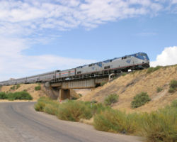
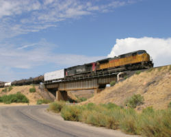
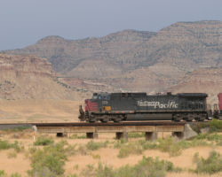
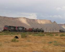
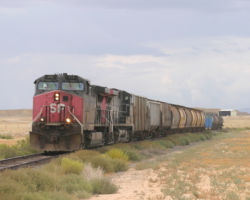
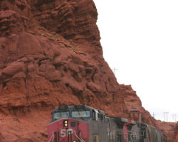
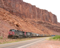
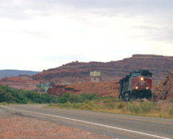
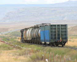
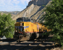
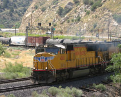
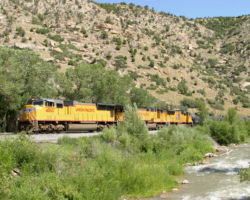
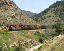
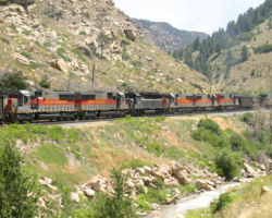
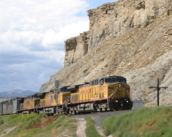
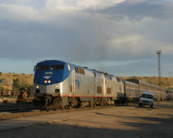
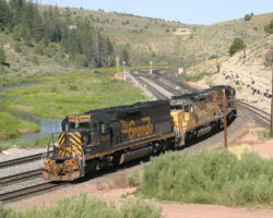
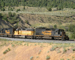
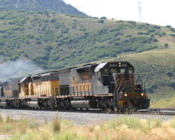
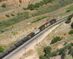
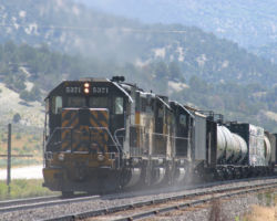
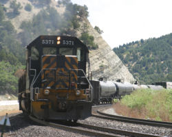
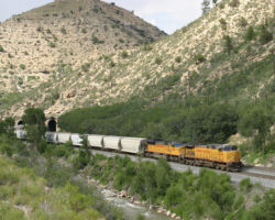
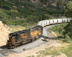
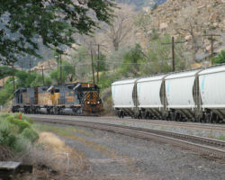
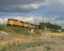
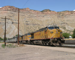
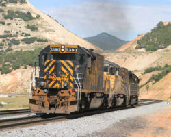
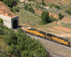
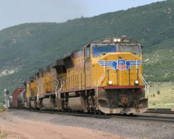
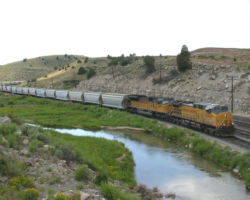
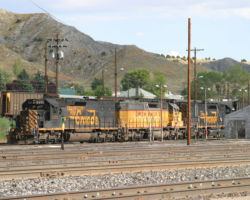
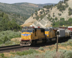
Turned out either switching Ruby took longer than expected, or Amtrak was moving faster than expected. Fortunately in the mix that day was a track inspector, and the constant radio updates on the train plan were of great assistance in fending off impatience and boredom. That alerted me to the fact that 173 wouldn’t be moving up to Westwater to meet Amtrak, but would either be staying put at Ruby or moving up to Utaline (never did figure out which). Regardless, aside from a brief sputter from the detector just west of Westwater, my first indication of 6’s approach was the point-end signals lighting up with a high green. (Photo #3) After Amtrak, it was only another six minutes until UP 8140 east showed up and went in the hole. (Photo #4) Nearly twenty minutes later, due to the delay in getting out of Ruby or Utaline and down to Westwater after the passage of Amtrak, the Potash job was finally on the move again. The pickup from Ruby? A single bulkhead flat that looked to be loaded with old ties.
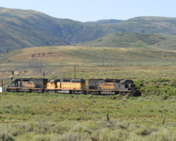
I tried for Cisco, but the local was just too darn fast. Track speed across much of the desert is 60 freight, 79 passenger, and the drive back up to the freeway from Westwater is a significant drawback in trying to be ahead of the train by Cisco. Just as I approached the east entrance to town, I heard the detector go off on the west side. Arg! The other downside was that Cisco was one of the last places I’d see good sun for the day. Just west of there, a cloud bank hung over the desert, periodically even threatening rain. By the time I caught up with the train outside Thompson, I actually had to stop and put the top back on the car because it was intermittently raining hard enough to be annoying. (Photos #6-7) After a brief stop to switch a few tank cars at Brendel, the local was ready to finally head down the branch. The only problem was the light was completely fouled up and it was raining quite steadily in large, cold droplets.
Really, there’s not that much more to tell about the branch. Basically I followed the train down to Potash and then back to the junction, where I left it for the trip west to Helper. Round trip on the branch took about four and a half hours, including about fifteen minutes actually switching Potash. It’s a straightforward, easy chase with the close proximity to the road and relatively low branchline speeds. It’s easy to see from the photographs where the scenery starts to shift from boring to superb (about MP 20, by the way), so plan accordingly. My only regret is that I was chasing under heavy cloud cover and rain most of the day, and that combined with the extremely red sandstone really played games with my white balance and metering. So nearly every photo in the first part required some amount of adjustment, but most still aren’t to the point I’m happy with them.
Helper – Saturday, August 6, 2005
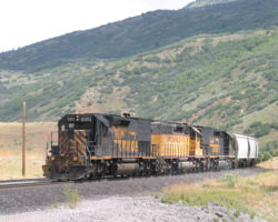
After following the Potash job on Friday, I headed over to Helper, Utah, for a couple of days. I’d hoped to capture the last days of the fabled Dirt Train and the last two Rio Grande tunnel motors that are stationed there. Usually Helper is an almost meticulously predictable operation. The two T-2s, along with another unit or two, haul trash trains out from the Helper yard to Sunnyside every day but Sunday. During the week, they leave a little later and stay out there most of the day, but on Saturdays it’s a short sprint out and back in the early morning. The rest of the time, they sit around the yard or occasionally push a westbound over Soldier Summit. Not this trip. Helper was, to say the least, screwy this weekend. Take lightning-zapped CTC, a broken rail, crew shortages, late Amtraks, very strange Dirt Train patterns, sprinkle liberally with MoW activities, stir, and you have the makings of a very interesting and unpredictable weekend.
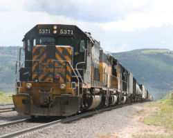
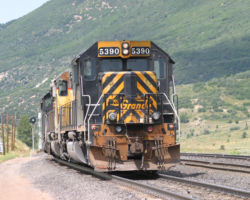
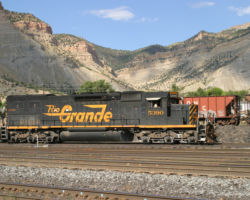
For one thing, the Dirt didn’t really run on Saturday at all. I was at the yard by 8 am, and there was no sign of the distinctive grey smelly containers. Eventually around 0930h or so, the local crew got on 5390, switched a couple cars, and put it away. I’d put in a 1500 mile trip to see one T-2 switch about four cars? AAAGGHH!! In fact, I was getting a bit concerned that the Dirt had come to an abrupt end before I got there, but in the early afternoon, three UP units came down the hill with that odoriferous unit train. It was one of the few trains I actually recognized by smell before I looked at it, since I was looking the opposite direction at a Utah coal drag climbing when it first showed up. They hauled it out to Wash and dropped it, returning to Helper. I watched them off and on throughout the rest of the day, and neither tunnel motor turned a wheel.
Saturday yielded a few other trains over the hill, including one westbound coal load with three large UP motors as manned helpers. They were held for quite a while due to no engineer for the helpers, and one was eventually shuttled in from Provo. Several other trains, including a westbound UP manifest, sat around for a couple hours during the day awaiting crews. Add to that a broken rail taking #1 out of service between Lynn and Kyune, and CTC problems out near Grassy due to a suspected lightning strike Friday night, and things were really… odd.
Helper – Sunday, August 7, 2005
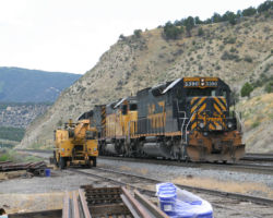
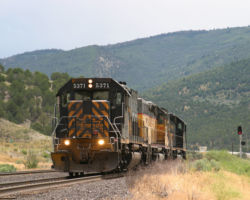
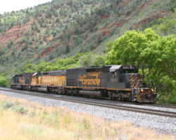
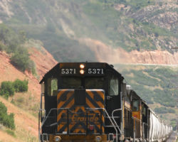
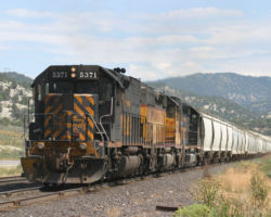
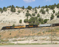
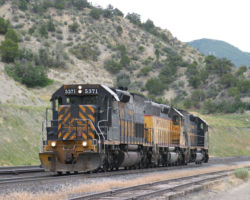
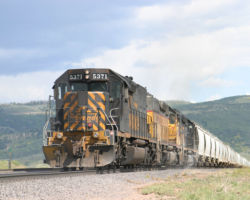
Sunday started a little differently. I expected they’d do local work, or take the trash cars from Wash up to ECDC. Instead, on the way up from the hotel in Price, I heard 5371 heading up the hill, and the ensuing conversation with DS78 verified that 5371 and 5390, bracketing some UP SD40-2, would be shoving two eastbounds over the hill. So I spent all day following the T-2s over to Castilla, then pushing a UP manifest back to the summit, then back to Castilla, then pushing (or pulling, on the downhill side) a unit train into Helper. Not bad – I’ve never seen them used as pushers on eastbounds before.
On Monday morning, I’d expected to catch the T-2s on the Dirt, since that was the usual pattern and I’d come all this way for a Dirt Train that hadn’t run. So I sat around Helper awaiting their departure. Eventually I gave up and drove over Soldier looking for anything moving. I picked up an eastbound UP manifest near Narrows and followed it for a ways, then decided to head back when I heard some chatter on the scanner about the Dirt.
When I got there, the T-2s had disappeared, so I suspected the Dirt was on the move. Sure enough, when I got to Banning, I could see a train way up on the branch. After much cursing, I shot out to the landfill, only to find that it wasn’t the T-2s, but rather the big ugly yellow helper set from Helper. I still have no idea where the tunnel motors went, unless they took them back up the hill to push something. I checked Wellington and Price, and they were not at either. Regardless, the era of both the Dirt Train and of unpatched Rio Grande power is rapidly drawing to a close. The Dirt Train is supposed to stop sometime this month (August 2005) as a new landfill, with trucks hauling the waste, opens in Tooele County. The Rio Grandes all have notes in their maintenance files to patch them as soon as they come in for their 92 day inspections. The last bastion of Rio Grandes is soon to be just a memory.
All photographs in this trip report were taken with a Canon EOS 10D using either a Canon 28-105mm USM, a Canon 75-300mm f4-5.3 IS/USM, or a Sigma 18-50mm, f3.5-5.6.
This work is copyright 2024 by Nathan D. Holmes, but all text and images are licensed and reusable under a Creative Commons Attribution-NonCommercial-ShareAlike license. Basically you’re welcome to use any of this as long as it’s not for commercial purposes, you credit me as the source, and you share any derivative works under the same license. I’d encourage others to consider similar licenses for their works.
